
Penn Hills Township Neighbors Sources
Public records can describe a Penn Hills Township block in layers. GIS supplies the parcel shape. The assessment card provides the county's current property record. Recorded instruments add document dates and legal descriptions. Township files may document a defined address matter if a responsive record exists. These sources are useful for civic curiosity, property history, and a careful check of the land record. They are not a roster of the people who live on the block.
| Source | What It Shows About a Block | Access |
|---|---|---|
| Allegheny GIS parcel service | Parcel polygons, selected identifiers, available layers, map context, and adjacency | Public map service; geometry is not title proof |
| Real Estate Portal parcel card | Owner of record, situs and mailing fields, assessment, tax, building, and sale clues | Free by address or parcel; owner-name search is subscription-only |
| Recorder and Land Records | Dated deeds, mortgages, plans, parties, book/page, and legal-description evidence | Public index route; verify current copy or image access with the custodian |
| Penn Hills Code Enforcement | Address-specific permit or occupancy procedure and responsive administrative records | Focused request; no public online permit lookup was verified |
| Election-file request | Controlled Street List and Walking List categories | Request terms and statutory limits apply; never publish a street list |
| Regional directories and maps | Time-bounded address or property context where a particular edition or plate covers it | Coverage must be checked street by street |
Note: Record an access date and parcel identifier for every block result, since assessment, mapping, and recorded-document dates can differ.
Map Penn Hills Township Neighbors
The precise process is address → GIS → adjacent parcel polygons → parcel cards → dated deeds. Begin at one Penn Hills Township address in the county map service. The purpose is to define the immediate block edge before reading a property card. Do not substitute a ZIP code, a street name, or a rough radius for an actual adjoining boundary. Hilly terrain, numerous streets, and lot or block data can make a nearby point look more connected than it is.
The Allegheny County parcel MapServer is the official parcel-layer source used for this boundary step.
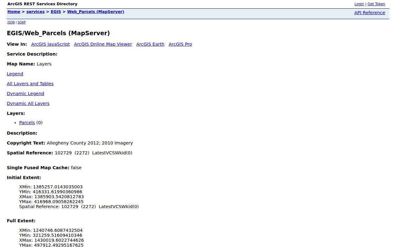
Use the selected parcel information to retain identifiers, then click each polygon that truly shares an edge with the target.
- Search the address in the county GIS viewer and select the target parcel.
- Pan and zoom until the parcel boundary is clear, then note the PIN or MAPBLOCKLOT information if it is displayed.
- Click each directly adjoining polygon separately. Measurement helps describe proximity, but it does not identify a person or establish a relationship.
- Open the matching property card by address or parcel ID and retain its recorded owner, situs, mailing, and sale clues as separate fields.
- Use the date, book/page, or party clue in the Recorder index. Compare the legal description, plan, lot, and block before connecting a deed to the parcel.
Read Penn Hills Township Parcel Cards
A property card is the county's record of a parcel, not proof about all people at that address. It may show an owner of record, a physical situs address, and an owner mailing address. The situs is the parcel's physical location. The mailing field is for assessment correspondence and can be somewhere else. It may help explain the tax record, but it should not be labeled as a residence without independent support.
The card can also show municipality, school district, tax or use code, homestead or other abatement fields, assessment values, building characteristics, sale date, recording date, and book/page clues. Its building and tax tabs add property context. Owner History, images, comparables, appeals, and map tabs are separate. The county cautions that owner history is not a complete sales history, so use a dated Recorder document before describing a transfer.
Note: Adjacent parcel ownership and an owner mailing address do not establish that anyone occupies the property or knows a person next door.
Date Penn Hills Township Deeds
Recorded instruments give the time layer for a Penn Hills Township block. Start with a parcel card's sale or recording clue, then use the Recorder advanced search for grantor, grantee, recorded-date range, document number, document type, book/page, OCR phrase, or parcel ID. Parcel ID entries use 14-17 digits without dashes. A grantor is the party transferring an interest; a grantee is the party receiving it. Those roles must be read with the actual instrument and its land description.
A deed, mortgage, lien, release, and plan are not interchangeable results. Check the municipality, plan, lot/block, and legal description before deciding that a document concerns the same parcel. The Recorder's live interface was observed with a recorded-date range beginning October 24, 1917, but that observation does not prove that every record or image begins then. For deeper research, the State Archives documents Allegheny grantor/grantee deed indices for 1788 through 1904, with county and archive assistance needed where the web index stops.
Penn Hills Township Neighbor Context
Penn Hills Township civic context is real, but it is not a substitute for a membership directory. The county municipal profile identifies Penn Hills as a home-rule township in the Penn Hills School District and in the Turtle Creek Valley Council of Governments context. Penn Hills Library is the local institutional research stop. The source set did not verify public directories for neighborhood associations, HOAs, block-watch groups, congregations, or civic-club membership. Do not create an association list from fragments or assume a group represents a whole block.
| Local resource | Verified role | Directory boundary |
|---|---|---|
| Penn Hills Library | Catalog and licensed database access, including in-library research resources; staff can be asked about local-history files and period materials | No verified public neighborhood-membership directory in the reviewed sources |
| Penn Hills School District context | County municipal profile identifies the district as part of the township profile | The profile is jurisdiction context, not a household or family directory |
| Turtle Creek Valley COG context | County municipal profile places Penn Hills in this local-government context | It does not provide a public block, association, or congregation roster |
This geography matters because Penn Hills Township is not a Pittsburgh neighborhood, and postal or regional labels can drift from the municipality used in county records.
Control Penn Hills Township Street Lists
Public voter data is not a map of a Penn Hills Township block. Pennsylvania distinguishes a Public Information List, Street List, Walking List, and full voter export on its request form. The street and walking categories have defined fields and controlled access terms. The requester must provide identity and contact information, sign, and acknowledge the permitted use. State and county election channels, not an interactive block search, are the lawful route for these records.
A voter record can reflect registration information on a date. It does not establish continuous presence at the address and never reveals a ballot choice. The personal registration-status tool is for an individual's own status. It is not a general neighbor lookup. Pennsylvania's Address Confidentiality Program and the request restrictions must be respected at every stage.
Compare Penn Hills Township Neighbor Tools
Penn Hills Township official records and commercial neighbor tools answer different questions. An official source has a named custodian, a record type, and a date that can be checked. A commercial category may combine data from multiple sources, but the result can be stale, incomplete, or assigned to the wrong parcel. Neither category turns a parcel map into proof of occupancy or a personal relationship.
| Official parcel and deed records | Commercial neighbor tools |
|---|---|
| Identify the custodian, parcel, document date, and legal description. | May compile records of different dates and scopes into a single result. |
| Support direct checking with the assessment office, GIS service, Recorder, or township request route. | Need to be checked against the actual public custodian before a property fact is relied upon. |
| Show defined record fields, with official access limits. | Do not resolve protected addresses, other occupants, or personal relationships. |
Note: When a property fact matters, retain the record date and consult the custodian rather than relying on a compiled summary.
Protect Penn Hills Township Addresses
Pennsylvania's Address Confidentiality Program is a key safety boundary for address research. It supplies a substitute mailing address in specified government and civic record contexts for qualifying people facing serious safety concerns. A property, voter, court, school, or marriage record may therefore have confidentiality protections that make a full address unavailable. No one should attempt to reconstruct a protected address by combining fragments from parcel cards, voter material, maps, or unrelated records.
The Pennsylvania Address Confidentiality Program describes the official protection route.
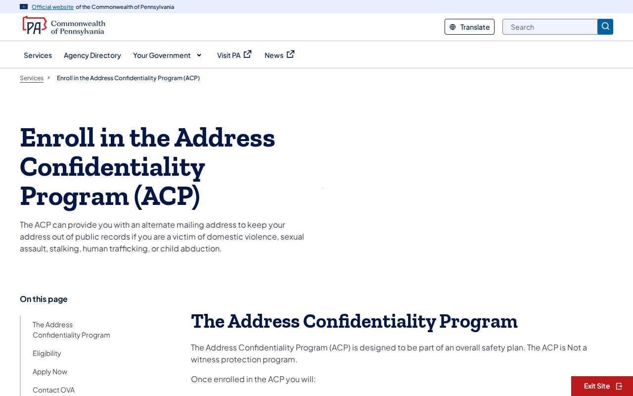
Its substitute-address process is a safety measure, not an invitation to infer the protected location from other sources.
Separate Penn Hills Township Custody Searches
The Pennsylvania DOC locator is a statewide custody tool with no block lookup role. It covers state-supervised status and is separate from questions about adjacent parcels, county-jail records, or Penn Hills Township property research. It should never be used to label a block or create a neighborhood list. A no-result also cannot rule out county, federal, out-of-state, released, sealed, or differently spelled records.
The statewide DOC locator shows the official custody-search interface and its separate scope.
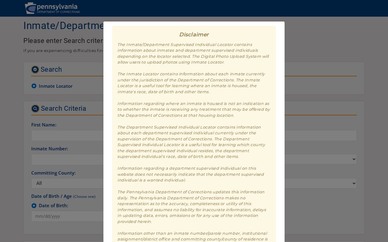
Keep custody records apart from parcel research, and use the appropriate official channel for any specific institutional question.
Respect Penn Hills Township Neighbor Limits
A Penn Hills Township block cannot be identified by drawing a circle around a map pin. Parcel adjacency does not show a personal relationship. A recorded owner may not be an occupant, and an owner mailing address may be tax correspondence. Other property occupants, utility-account data, delivery information, and motor-vehicle personal information are not a public block directory. Court matters also have public-access limits, including protected, sealed, expunged, juvenile, and otherwise restricted material.
Lawful use. Use Penn Hills Township block records for personal, lawful research and property verification. Do not use them to stalk, harass, intimidate, or harm anyone.
For an address-specific township record, request the defined record type, address, and time period through the appropriate custodian. That preserves the line between a public record and a targeted dossier.